
To calculate a clean path coverage using simple geometry, start by mapping your environment with calibrated sensors to identify obstacles and boundaries accurately. Then, divide the area into grids or waypoints, ensuring each covers a specific zone. Use geometric principles like straight lines, angles, and distances to plan routes that maximize coverage while avoiding obstacles. By systematically applying these strategies, you can optimize your path. Keep exploring for detailed steps to refine your coverage plan.
Key Takeaways
- Use geometric models like grids or waypoints to plan efficient, systematic coverage paths.
- Calculate sensor coverage areas at each position to ensure no blind spots.
- Model obstacles as simple shapes (circles, rectangles) to plan safe navigation routes.
- Determine path intersections and buffer zones to prevent coverage gaps and collisions.
- Integrate calibrated sensor data with geometric algorithms for optimized, reliable environment coverage.
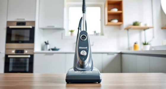
Calculating clean path coverage is essential for guaranteeing that a robot or autonomous system can navigate safely and efficiently through an environment. To do this accurately, you need to understand how the robot perceives its surroundings, which involves proper sensor calibration. Sensor calibration is the process of adjusting and fine-tuning the sensors so they provide precise data about the environment. Without calibration, your robot’s sensors might give misleading readings, leading to gaps in coverage or collisions. When sensors are correctly calibrated, they can reliably detect obstacles, walls, and free space, forming a solid foundation for planning a complete and safe path. Additionally, the use of high-quality sensors with color accuracy can significantly improve obstacle detection and environmental mapping.
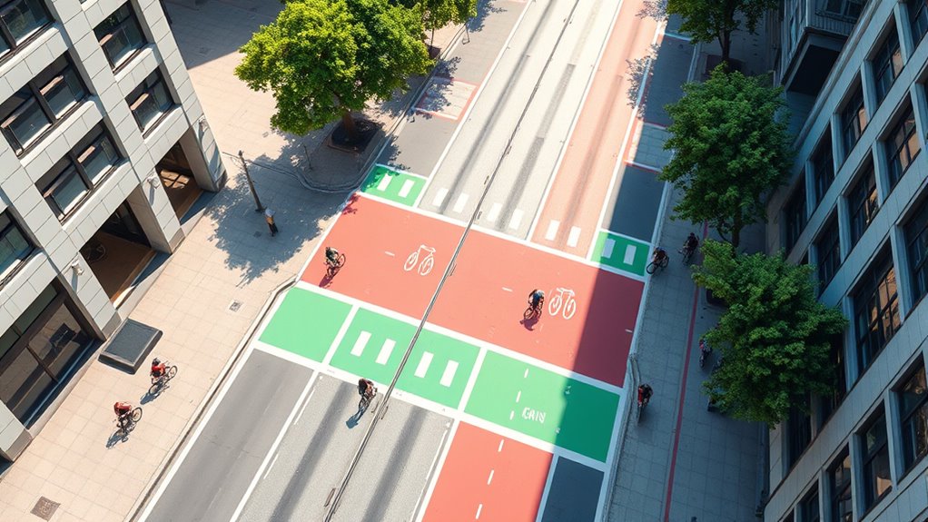
Once your sensors are calibrated, you can focus on obstacle avoidance, a critical component of path coverage. Obstacle avoidance involves interpreting sensor data to identify obstacles and navigate around them without missing any areas. Simple geometry plays a key role here; by modeling obstacles as geometric shapes—circles, rectangles, or polygons—you can determine the best route for your robot. For example, if a sensor detects an obstacle within a certain radius, you can calculate a new trajectory that steers the robot around it, ensuring continuous coverage. Using basic geometric principles like angles, distances, and intersections helps simplify complex environments into manageable calculations.
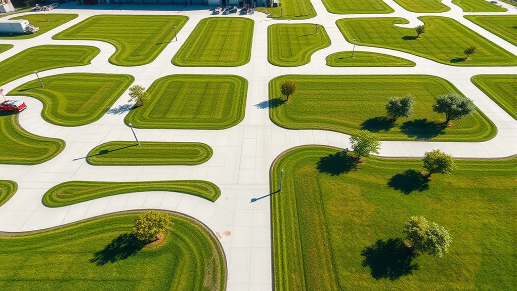
To effectively calculate the clean path coverage, you should break down the environment into a grid or a set of waypoints. With the environment mapped using calibrated sensors, you can employ geometric algorithms to determine the shortest or most efficient routes. This involves calculating the area covered by the robot’s sensors at each position and ensuring there are no blind spots. As your robot moves, you continually update its position and sensor data, adjusting its course in real-time to avoid obstacles and fill in coverage gaps. This dynamic process relies heavily on geometric calculations such as obstacle buffers, clearance zones, and path intersections.
In practical terms, you’ll want to combine sensor calibration with obstacle avoidance strategies to develop a robust coverage plan. Simple geometric models allow you to visualize the environment and anticipate potential issues before they occur. By systematically calculating the path that maximizes coverage while avoiding obstacles, you ensure your robot operates efficiently. This approach reduces the risk of missed spots or accidental collisions, making your autonomous system more reliable. Ultimately, integrating precise sensor calibration with geometric obstacle avoidance creates a seamless, safe navigation process that guarantees comprehensive coverage of the environment.

HiLetgo 37 Sensor Assortment Kit for Arduino & Raspberry Pi – 37 in 1 Robot Project Starter Kit
- Includes 37 sensors in one kit: Comprehensive sensor assortment for projects
- Compatible with Arduino and Raspberry Pi: Ideal for Arduino and Raspberry Pi projects
- Touch sensor module included: Features touch sensor for interactive projects
As an affiliate, we earn on qualifying purchases.
As an affiliate, we earn on qualifying purchases.
Frequently Asked Questions
How Does Obstacle Placement Affect Clean Path Calculations?
Obstacle placement substantially impacts clean path calculations because high obstacle density reduces available space, making it harder to find unobstructed routes. Your placement strategies matter too; well-placed obstacles can create more efficient paths, while poorly positioned ones can block critical areas. By analyzing how obstacles are distributed, you can optimize routes, ensuring maximum coverage and minimal interference, ultimately improving overall path efficiency in your layout.
Can Complex Geometries Be Simplified for Easier Analysis?
You might find that complex geometries can be gently streamlined through path simplification, making analysis more manageable. By focusing on geometry optimization, you reduce intricate details into clearer, more straightforward shapes. This approach helps you efficiently assess coverage and obstacles without sacrificing accuracy. Simplifying complex forms allows for easier calculations and better decision-making, ultimately making your analysis more effective and less time-consuming.
What Software Tools Assist in Calculating Clean Path Coverage?
You can use software tools like ROS (Robot Operating System) with geometric modeling plugins to assist in calculating clean path coverage. These tools help optimize robot navigation by simulating paths and analyzing coverage areas effectively. GIS software like ArcGIS or QGIS also offers capabilities for geometric modeling and coverage analysis. They simplify complex geometries, making it easier to plan and evaluate robot navigation paths for exhaustive coverage.
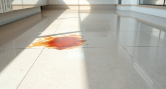
How Do Different Floor Materials Impact Calculation Accuracy?
You should consider how different floor materials impact your calculation accuracy because surface durability varies markedly. For example, smooth, durable surfaces like tile or polished concrete allow for precise path measurements, while textured or uneven floors, such as carpet or vinyl, can introduce errors. By understanding these differences, you can adjust your calculations accordingly, ensuring your clean path coverage estimates are more accurate and reliable across various surface types.
Is There a Way to Automate the Calculation Process?
Did you know that automation can boost calculation efficiency by up to 60%? You can automate the process by using software that analyzes sensor placement and performs path optimization. This approach streamlines calculating the clean path coverage, reducing manual errors and saving time. Implementing such tools allows you to quickly identify ideal sensor arrangements and guarantees thorough coverage, making your workflow more precise and efficient.
Conclusion
Think of your clean path as a delicate thread weaving through a busy tapestry. By mastering simple geometry, you become the skilled weaver, ensuring every stitch is precise and coverage complete. With each calculation, you lay down a clear, uninterrupted trail—like a river flowing smoothly to its destination. Embrace this approach, and you’ll craft a seamless journey through complexity, guiding your project with confidence and clarity, just as a gentle stream finds its way through the landscape.